MAPPING OF ANDROID-BASED INDUSTRIAL ESTATE DEVELOPMENT
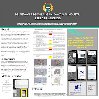
Jelita Citrawati Jihan andA. A. Sagung A W. The industrial sector is one of the most important sectors and strategies in development as the lifeblood of the economy. The development of this sector was aimed at mobilizing regional potentials, increasing accessibility and mobility of the community, and increasing urban productivity. Mapping of industrial estate on labor availability parameters, physical characteristics (soil type, slope of soil, and erosion prone areas), availability of facilities and infrastructure, accessibility, and government policies for determining the location of industrial estate in East Surabaya Development Unit I used a Geographic Information System. The mapping of industrial estate used Geographic Information System approach with the overlay and buffer methods. The data were obtained from ground truth measurements of industrial location determination i.e. maps and position data, coordinates, spatial and spatial, with surveys based on observations to GNSS sat